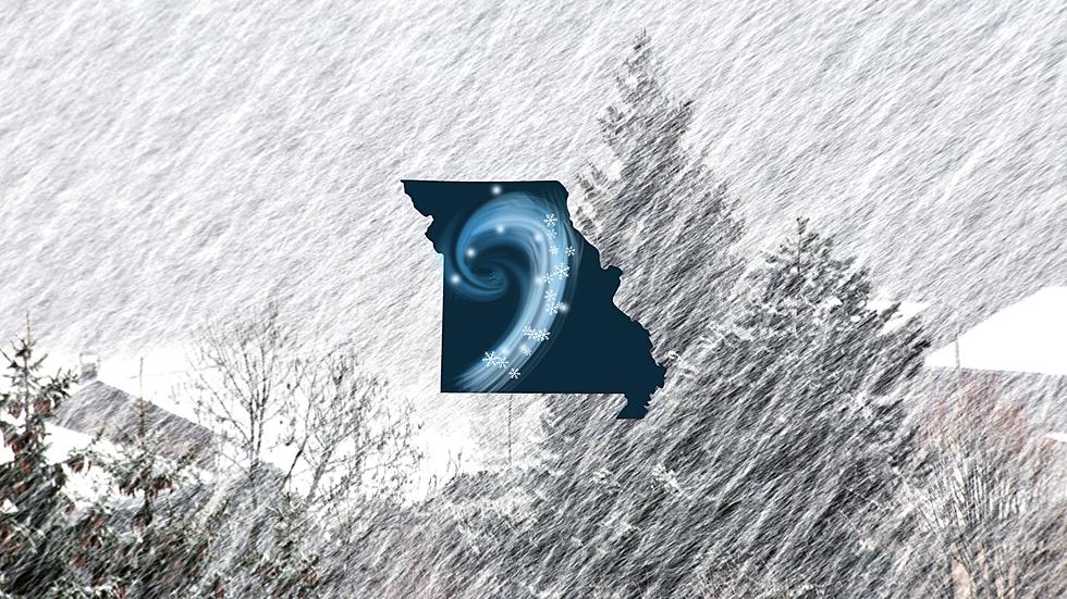
Accuweather Predicts Missouri Blizzard Friday, NWS Doesn’t Agree
I share this with a bunch of disclaimers, more than a little trepidation and want to be clear that this is not my prediction. However, I think it's worth sharing just because it's possible. A meteorologist from Accuweather is predicting a blizzard could develop over central Missouri Friday, but the National Weather Service does not appear to agree - yet.

Here's what AccuWeather Chief Video Meteorologist Bernie Rayno just shared about what is possible for Friday in Missouri. Once the current winter storm system makes its way through Missouri and Illinois, it will be followed by another one that looks to arrive Friday morning. Bernie is expecting an upper level low to be centered over southern Missouri. He says that this low pressure system will receive a blast of arctic air from the north.
While I highly advise watching Bernie's full video explaining why he expects this to happen, I'll sum it up in a nutshell. He believes that Friday morning into Friday afternoon, January 12, 2024, the area between St. Louis and Chicago could see blizzard conditions develop with high winds and snowfall.
Bernie does say that the track of the low pressure system which is still currently off of the west coast at the time of this writing is uncertain. He does show in his video that many computer models do seem to agree with it blowing up over Missouri or at least somewhere in the Midwest in general.
Let's be clear that as of this writing, the National Weather Service in St. Louis does not seem to be ready to jump on the blizzard bandwagon - yet
The National Weather Service outlook for Wednesday, January 10 through Monday, January 15, 2024 is this:
The active period will really take off Thursday night-Friday when a southern stream trof moving through the broad long wave deepens as it moves through the region and is accompanied by a deepening surface low...The highest probabilities of snow through 12z Friday are centered across northeast MO into west-central IL, however strong (cold air moving in) in the wake of the surface/low-level cyclone should result in a transition to snow across most of the area by early Friday evening. This system certainly has potential for a greater footprint of measurable snow than the current one.
There is some agreement between what Accuweather thinks is possible and what the National Weather Service is watching. That's why I feel like everyone needs to be made aware of what COULD be brewing at the end of the week.
Top 20 Missouri Places That Get the Most Snow Every Year
Gallery Credit: Canva
More From 100.9 The Eagle, The Tri-States' Classic Rock Station