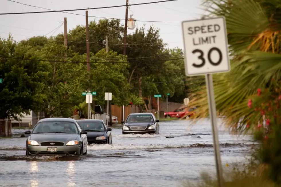
Several NE Missouri Roads Closed Due to Flooding
The heavy rains in the area have forced several roads to be closed in Northeast Missouri according to the Missouri Department of Transportation.
The following routes are closed in Northeast Missouri due to water over the road. MoDOT reminds motorists it is dangerous to drive into water-covered roads. We will continue to monitor the following areas and update if conditions change.
Counties with Routes Closed due to flooding:
Adair - MO 149 at Hog Creek 4 miles south of MO 6
Adair - Route E 4 miles east of US 63 at Bear Creek
Adair - MO 149 north of Novinger at Shuteye Creek
Adair - Route O north of Novinger 1 mile at Spring Creek
Adair - MO 11 approx. 5 miles east of Kirksville at Steer Creek
Knox - MO 151 south of MO 156 near Novelty at North River
Knox - Route K just west of Colony at Middle Fabius River
Knox - Route E south of Knox City 1 mile south of MO 6
Knox - MO 11 west of MO 15 1.4 miles west of Baring at South Fabius River
Lewis - Route B Flood Gates Installed just north of Canton
Lincoln - Route N east of MO 79 at Mississippi River
Macon - Route DD 3 miles east of US 63 at Middle Fork Salt River
Macon - Route J 3 miles west of US 63 at East Fork of Chariton River
Macon - Route PP 3.5 miles east of US 63 at Middle Fork Salt River
Monroe - Route A between Route WW and DD just ½ mile south of Lentner at Crooked Creek
Monroe - Route J ½ miles south of Route 151 at Middle Fork Salt River at Duncans Bridge
Montgomery - Route J from just west of MO 19 to Big Spring Quarry Road at Loutre River
Pike - Route P east of levee at the Mississippi River Access
Shelby - Route N north of Lentner and 3 miles south of Route K at North Fork Salt River
Shelby - Route W almost .75 mile south of Route J at Tiger Fork North River
Shelby - Route DD near Maud at Otter Creek
Shelby - MO 151 north of Clarence 1 mile north of Route MM at Ten Mile Creek
Shelby - MO K west of Shelbyville approx. 1.1 miles at Black Creek
Shelby - MO 151 north of Clarence near Route K at North Fork Salt River
All closures can be found online at www.modot.org/ on the Traveler Information Map. Since waters rise and fall quickly during flash flooding, it is recommended motorists check Traveler Information Map on the MoDot website or call 1-888-275-6636 for the latest information.
More From 100.9 The Eagle, The Tri-States' Classic Rock Station